Sarah was halfway through her morning coffee when her phone buzzed with a flood of school closure alerts. Outside her Manchester window, snow was falling so thick she couldn’t see the neighbor’s fence. Just three days earlier, her seven-year-old had been playing in the garden without a coat, complaining it was too warm for January. The weather app on her phone showed a confused jumble of symbols – snow, rain, wind, more snow. What she didn’t know was that thousands of miles away, over the middle of the Atlantic Ocean, an invisible atmospheric pattern had just shifted gears.
That pattern doesn’t have a catchy name. Scientists call it the North Atlantic Oscillation, and most people have never heard of it. Yet this quiet giant controls whether British winters arrive as gentle, grey affairs or as the kind that shut down motorways and send people racing to the shops for bread and batteries.
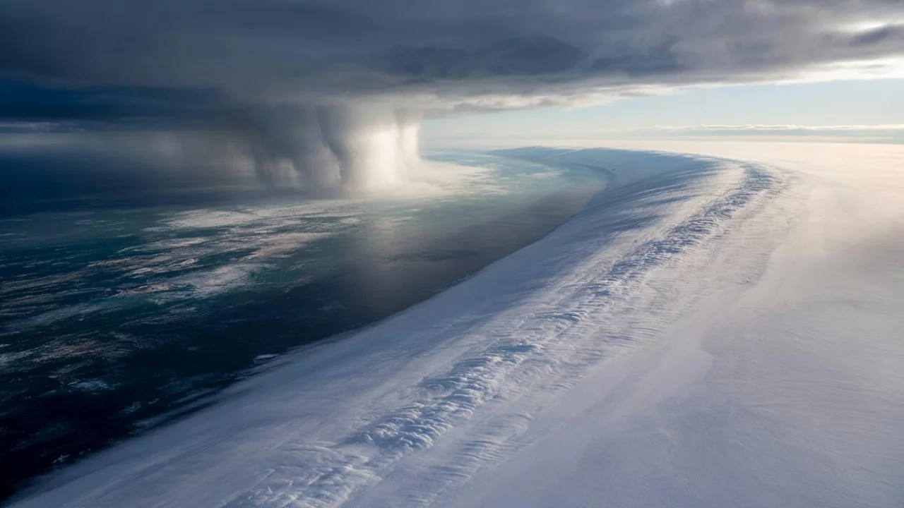
You can’t see it. You’ll never feel it directly on your skin. But right now, it’s there – a slow, powerful heartbeat of air pressure changes sprawling across thousands of miles of ocean, quietly deciding your winter’s fate.
The Atlantic’s Hidden Weather Machine
Picture two invisible giants locked in an endless wrestling match above the Atlantic. One sits near Iceland, the other hovers around the Azores. These aren’t storm systems you’d see on tonight’s weather forecast – they’re semi-permanent features, pressure systems so vast they dwarf entire countries.
The North Atlantic Oscillation is essentially the relationship between these two atmospheric powerhouses. When they’re pulling hard in opposite directions – meteorologists call this a “positive phase” – something remarkable happens. The jet stream, that river of fast-moving air high in the atmosphere, gets supercharged like a conveyor belt gone wild.
“Think of it as the Atlantic’s mood ring,” explains Dr. Helen Morrison, a climatologist at the European Centre for Medium-Range Weather Forecasts. “When it’s in a positive phase, we get storm after storm rolling into Western Europe. When it flips negative, everything changes – the storms take different paths, and suddenly we’re dealing with bitter cold from the east.”
During positive phases, Britain becomes a magnet for Atlantic storms. Mild, wet air streams in relentlessly. You get those frustrating winters where it never quite feels like winter – just endless grey skies, rain, and temperatures that hover around 8°C for months.
But when the North Atlantic Oscillation flips into negative territory, the whole system weakens. The jet stream starts to meander like a lazy river. Cold, dry air from Siberia and the Arctic finds gaps in Europe’s usual defenses. Suddenly, Britain is facing the kind of weather that makes headlines.
When the Pattern Goes Extreme
The numbers tell the story better than any weather forecast ever could. Here’s how dramatically the North Atlantic Oscillation can reshape a winter:
| Winter | NAO Phase | UK Impact | Temperature Difference |
|---|---|---|---|
| 2017-2018 | Strongly Negative | “Beast from the East” – widespread snow | -8°C below average |
| 2013-2014 | Strongly Positive | Record rainfall, severe flooding | +3°C above average |
| 2009-2010 | Negative | Coldest winter in 30 years | -5°C below average |
| 2006-2007 | Positive | Warmest winter on record | +4°C above average |
The winter of 2017-18 offers a perfect case study. In late February, the North Atlantic Oscillation plunged into one of its most negative phases in decades. Within days, the effects rippled across Europe.
The jet stream, normally a straight-shooting highway for Atlantic storms, began to wobble and weaken. Cold air that typically stays locked over Siberia found a path westward. Britain, usually protected by mild Atlantic air, suddenly found itself in the crosshairs of what meteorologists dramatically dubbed the “Beast from the East.”
Key impacts during extreme NAO phases include:
- Temperature swings of 10°C or more from seasonal averages
- Rainfall patterns shifting by up to 200% from normal
- Storm tracks moving hundreds of miles from their usual paths
- Extended periods of unusually stable weather patterns
- Increased frequency of extreme weather events
“What’s fascinating is how a relatively small change in pressure differences can cascade into such dramatic weather changes,” notes Professor James Whitfield from the University of Reading’s meteorology department. “We’re talking about pressure variations of just a few millibars, but the knock-on effects can shut down entire transport networks.”
Living in the NAO’s Shadow
For most people, the North Atlantic Oscillation remains invisible until it isn’t. Energy companies watch it obsessively – a surprise swing to negative can trigger massive spikes in heating demand. Transport authorities have learned to factor NAO forecasts into their winter planning. Farmers increasingly consult long-range NAO predictions when deciding crop schedules.
Insurance companies now employ teams of atmospheric scientists specifically to track oscillation patterns. A single extreme NAO event can generate billions in claims. The 2018 “Beast from the East” cost the UK economy an estimated £1 billion per day during its peak impact.
But the human cost goes beyond numbers. During the 2013-14 winter floods, families in Somerset lived for weeks with water lapping at their door frames. Train lines twisted into the sea. Communities found themselves cut off from the world, all because the North Atlantic Oscillation had locked into an extreme positive phase.
“People often ask me why we can’t predict these oscillation changes better,” says Dr. Sarah Chen, a climate researcher at the Met Office. “The truth is, we’re getting better, but the atmosphere is incredibly complex. Sometimes a small change in sea surface temperatures thousands of miles away can trigger a massive shift in the NAO.”
The oscillation doesn’t just affect weather – it shapes entire ecosystems. Bird migration patterns shift with NAO phases. Fish populations in the North Sea fluctuate as ocean currents change. Even plant flowering times across Northern Europe march to the North Atlantic Oscillation’s rhythm.
Climate scientists are discovering that the North Atlantic Oscillation may be becoming more erratic as global temperatures rise. Some models suggest we could see more frequent flips between extreme positive and negative phases. Others predict the pattern could weaken altogether, creating entirely new weather regimes across Europe.
What’s certain is that this invisible force will continue to shape our winters in ways that catch us off guard. Next time you’re scraping ice from your windscreen or watching rain stream down your window for the tenth consecutive day, remember – somewhere high above the Atlantic, two pressure systems are quietly writing the script for your weather.
FAQs
What exactly is the North Atlantic Oscillation?
It’s a climate pattern based on pressure differences between the Icelandic Low and Azores High pressure systems over the Atlantic Ocean.
How long do NAO phases typically last?
NAO phases can persist anywhere from a few weeks to several months, with some extreme phases lasting an entire winter season.
Can meteorologists predict NAO changes?
Scientists can forecast NAO patterns up to about two weeks ahead with reasonable accuracy, but longer-term predictions remain challenging.
Does the NAO affect other parts of the world besides Europe?
Yes, NAO influences weather patterns across eastern North America, Greenland, and parts of the Mediterranean and Middle East.
Is climate change affecting the North Atlantic Oscillation?
Research suggests climate change may be making NAO patterns more variable and potentially more extreme, though scientists are still studying these connections.
Why don’t we hear more about the NAO in weather forecasts?
Most weather forecasts focus on immediate conditions rather than large-scale climate patterns, though some meteorologists are beginning to mention NAO impacts during extreme weather events.


Leave a Comment